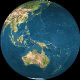
Himawari
Operatör: Japonya Meteoroloji Ajansı.
Fırlatma tarihi: 02/2005 (MTSAT-1R), 02/2006 (MTSAT-2)
Yörünge tipi: Jeostatik
Konum: 145°E
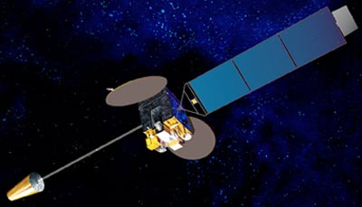
Enstrüman: radyometre
Radyometre, dünya yüzeyini hatlar halinde tarar; her hat bir dizi tekil görüntü nesnesi veya pikselden oluşur. Her piksel için radyometre farklı spektral bantların ışın enerjisini ölçer. Bu ölçüm dijital olarak kodlanır ve kullanıcı topluluğuna dağıtılmadan önce ön-işleme için yer istasyonuna gönderilir.
| kanal | Dalga boyu (µm) |
| VIS | 0.55 - 0.80 |
| IR1 | 10.3 - 11.3 |
| IR2 | 11.5 - 12.5 |
| IR3 | 6.5 - 7.0 |
| IR4 | 3.5 - 4.0 |